AgriERP Recognized & Mentioned On Forbes Magazine
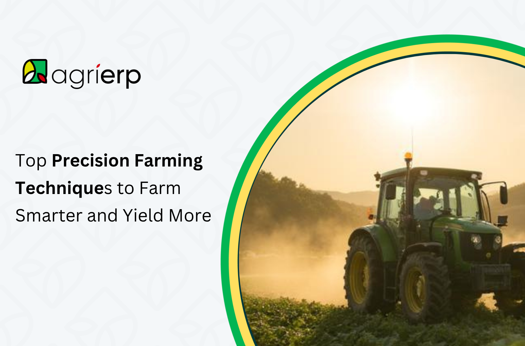
The gap between a good harvest and a great one often comes down to how well a farm operation uses its data. Precision farming techniques give commercial growers the tools to move beyond broad-acre averages and start managing every field, zone, and input with far greater accuracy. From GPS-guided equipment and variable-rate applications to yield mapping and real-time sensors, precision agriculture is reshaping what modern farm management looks like. This blog covers the top techniques driving results today — and what it takes to put them into practice on a commercial operation.
What Are Precision Farming Techniques?
Precision farming is the practice of using data, technology, and spatial analysis to manage variability within and across fields. Rather than treating an entire farm as a uniform unit, precision farming techniques allow growers to apply inputs — water, fertilizer, seed, crop protection — at variable rates based on the actual needs of each zone within a field.
The core idea is straightforward: different parts of a field have different soil types, moisture levels, nutrient profiles, and yield potential. Applying inputs at a flat, uniform rate means over-applying in some areas and under-applying in others. Precision agriculture corrects that inefficiency.
The benefits of precision agriculture show up across the operation — lower input costs, higher yields, reduced environmental footprint, and better decision-making grounded in real data rather than estimates. Understanding how digital trends are reshaping agriculture provides helpful context for why precision farming has moved from early adoption to mainstream commercial practice.
1. GPS Guidance and Field Mapping
GPS guidance is the entry point for most precision farming programs. Auto-steer systems and GPS-guided equipment allow tractors and implements to follow precise paths across a field, reducing overlap, skips, and operator fatigue — particularly during long planting, spraying, and harvest runs.
Beyond equipment guidance, GPS technology underpins the field mapping that makes all other precision techniques possible. Accurate field boundary maps, topography data, and zone delineations are the spatial framework on which variable-rate applications, soil sampling, and yield mapping are built.
Key applications include:
- Auto-steer and section control — eliminating overlap in planting and spraying passes, directly reducing seed and chemical costs
- Field boundary mapping — creating accurate records of field size, shape, and features that feed into planning and compliance reporting
- Elevation and slope mapping — identifying drainage patterns, erosion risk zones, and areas prone to waterlogging
For operations managing multiple fields or farm locations, maintaining accurate digital field maps within a farm management platform is a foundational step that connects physical field data to operational planning, input records, and financial reporting.
2. Soil Sampling and Variable-Rate Application
One of the most direct precision farming techniques for improving yield and reducing input waste is variable-rate application (VRA) guided by detailed soil sampling. Rather than applying fertilizer, lime, or amendments at a uniform rate across an entire field, VRA adjusts the application rate in real time based on a zone map derived from soil test data.
The process works as follows:
- Fields are divided into management zones based on soil type, historical yield data, or electromagnetic (EM) scanning
- Each zone is individually soil-tested for pH, organic matter, macronutrients, and micronutrients
- A prescription map is generated, specifying the exact application rate required in each zone
- Variable-rate spreaders, sprayers, or planters read the prescription map via GPS and adjust rates automatically as they move across the field
The advantages of precision farming here are measurable. Operations using VRA fertilizer application consistently report reductions in total fertilizer use while maintaining or improving yield outcomes, because nutrients are concentrated where they are deficient rather than uniformly applied where they may already be adequate.
This approach directly supports long-term soil management by preventing the over-application of nutrients that leads to soil imbalance and nutrient runoff into waterways.
3. Yield Mapping in Precision Farming
Yield mapping in precision farming is one of the most valuable — and underutilized — data sources available to commercial growers. A yield monitor fitted to a combine harvester records yield and moisture data at a high spatial resolution as it moves through the field, creating a map that shows exactly where yield was high, average, or below expectations.
Over multiple seasons, yield maps reveal patterns that are not visible from field averages:
- Consistently low-yielding zones that may indicate drainage problems, compaction, or chronic nutrient deficiencies
- High-performing zones where soil health investments are paying off
- Year-to-year variability that may be linked to weather, disease pressure, or management decisions
When yield maps are overlaid with soil test data, topography, and input application records, they become a powerful diagnostic tool. A zone that consistently underperforms despite adequate fertility inputs is pointing to a different limiting factor — drainage, compaction, or a physical soil constraint — that needs a different solution.
Yield mapping data stored and visualized through AgriERP’s agriculture analytics solution allows farm managers to cross-reference yield outcomes with inputs, field activities, and financial costs — turning raw combine data into actionable business intelligence across multiple seasons and locations.
4. Precision Irrigation Systems
Water is one of the most significant input costs on irrigated farms, and precision irrigation systems are one of the clearest examples of how technology can simultaneously improve yield outcomes and reduce operating costs.
Precision irrigation moves beyond fixed schedules and blanket application rates. It uses real-time data from soil moisture sensors, weather stations, and evapotranspiration (ET) models to deliver the right amount of water to the right part of the field at the right time.
Key precision irrigation technologies include:
- Soil moisture sensors — placed at multiple depths across different field zones to monitor actual soil water content in real time
- Variable-rate irrigation (VRI) — used with center pivots and linear systems to vary application rates across different zones within a single irrigation pass
- Drip and subsurface drip irrigation — delivering water directly to the root zone with minimal evaporation losses, particularly effective in vegetable, orchard, and high-value crop systems
- ET-based scheduling — using weather data and crop coefficients to calculate actual crop water demand and schedule irrigation accordingly
Agricultural water management strategies that incorporate precision irrigation regularly demonstrate water savings of 20–40% compared to conventional scheduling, without a reduction in yield. For operations under water allocation constraints or facing rising energy costs for pumping, this efficiency gain directly translates to cost savings and regulatory compliance.
5. Remote Sensing and Drone Technology
Satellite imagery and drone-based remote sensing have made it practical for commercial farms to monitor crop health and field variability at a scale and frequency that was not previously possible. These tools are a core part of the precision farming data analysis toolkit.
Normalized Difference Vegetation Index (NDVI) imagery — derived from satellite or drone sensors — measures the reflectance of plant canopies to estimate crop biomass, health, and stress levels. A field that appears uniform from the cab of a tractor may show significant variation in an NDVI image, highlighting zones that are lagging behind the rest of the field.
Practical applications of remote sensing and drone technology include:
- Early stress detection — identifying water stress, nutrient deficiency, or disease pressure before it is visible to the naked eye, allowing earlier intervention
- Stand count and emergence assessment — evaluating planting uniformity and identifying skips or population gaps shortly after emergence
- Biomass and canopy cover monitoring — tracking crop development across the season to inform side-dress nitrogen decisions or irrigation scheduling
- Post-harvest field assessment — identifying areas of crop residue distribution issues or drainage problems to address before next season
Drones offer higher resolution and on-demand imagery compared to satellite platforms, making them particularly useful for scouting large operations quickly and directing ground-level inspection to the areas that need it most.
6. Precision Farming Data Analysis
Collecting data is only the first step. The real advantages of precision farming are unlocked through rigorous precision farming data analysis — the process of turning field data into actionable decisions.
Modern precision agriculture operations generate data from multiple sources simultaneously: soil sensors, yield monitors, weather stations, satellite imagery, input application records, and equipment telematics. Without a structured approach to analysis, this data sits in silos and delivers little value.
Effective precision farming data analysis involves:
- Data integration — consolidating inputs from multiple hardware and software systems into a single platform where they can be analyzed together
- Spatial analysis — overlaying yield maps, soil test data, NDVI imagery, and application records to identify cause-and-effect relationships between field conditions, inputs, and outcomes
- Performance benchmarking — comparing yield and input efficiency across fields, zones, seasons, and crop varieties to identify where management improvements are having the greatest impact
- Predictive modeling — using historical field data combined with weather and market inputs to forecast yield outcomes and optimize planting and input decisions ahead of the season
AgriERP’s agriculture analytics solution is built to support exactly this kind of multi-source, cross-season data analysis for commercial farm operations. By connecting field performance data with financial records, procurement, and operational reporting, it gives farm managers and agronomists a structured view of where the operation is excelling and where there is room to improve — without the manual effort of pulling data from separate systems.
7. Precision Agriculture Software
The technology that ties all precision farming techniques together is precision agriculture software — the platform layer that stores, processes, and presents field and operational data in a usable form.
A modern precision agriculture software platform should enable:
- Field and crop record management — maintaining complete, searchable records of all activities, inputs, and observations by field and season
- Variable-rate prescription generation — creating and exporting application maps that integrate directly with VRA-capable equipment
- Integration with hardware and IoT devices — connecting to soil sensors, weather stations, yield monitors, and drone platforms via APIs or direct data imports
- Compliance and sustainability reporting — generating audit-ready records for food safety certifications, environmental compliance, and supply chain traceability requirements
- Financial performance linkage — connecting field-level data to input costs, labor, and revenue to evaluate the true return on precision agriculture investments
AgriERP is purpose-built for commercial farming operations and goes beyond standard field record software by integrating crop management, farm operations, inventory, and financial management in one connected platform built on enterprise ERP systems including Microsoft Dynamics 365 and Oracle NetSuite. This means precision agriculture data does not live in isolation — it informs procurement decisions, budget planning, and reporting alongside every other dimension of the farm business.
For operations managing labor alongside field programs, the platform’s approach to labor management in agriculture is particularly relevant, given how precision farming programs affect task planning and workforce deployment across the season.
8. The Future of Precision Agriculture
The future of precision agriculture is moving toward greater automation, deeper integration, and more accessible artificial intelligence. Several developments are already reshaping what is possible for commercial operations:
AI and machine learning are being applied to yield prediction, disease risk modeling, and automated image analysis from drone and satellite platforms. Models trained on large agricultural datasets can identify plant stress, pest damage, and disease symptoms from imagery with increasing accuracy, reducing the time agronomists spend manually reviewing scout data.
Autonomous and semi-autonomous equipment — including autonomous sprayers, seeding robots, and AI-guided harvest systems — are moving from pilot programs into commercial deployment, particularly in specialty crop and broadacre environments.
Integrated sensor networks combining soil, weather, crop, and equipment data in real time are enabling decision-support systems that can recommend irrigation, nutrient, or pest management actions with minimal human intervention.
Carbon and sustainability accounting is increasingly tied to precision data. As carbon markets and sustainability-linked supply chain requirements grow, the granular input and output data generated by precision farming programs becomes directly valuable for demonstrating environmental performance to buyers, financiers, and regulators.
The operations best positioned to take advantage of these developments are those already building the data infrastructure — accurate field records, integrated software platforms, and connected hardware — that advanced tools require. Understanding the broader innovation landscape in agriculture helps frame where precision farming sits within the larger digital transformation of the sector.
Conclusion
Precision farming techniques are no longer a competitive edge reserved for large operations with deep technology budgets — they are rapidly becoming the baseline for any commercial farm serious about improving yield outcomes, managing input costs, and building a resilient business for the long term. The techniques covered here, from GPS guidance and yield mapping to precision irrigation and data analysis, are most powerful when they are connected — feeding into a single operational picture rather than sitting as isolated tools. If you are looking to bring those connections together across your field data, operations, and financial management, AgriERP is built to do exactly that for commercial farming businesses.
Frequently Asked Questions (FAQs)
What are precision farming techniques?
Precision farming techniques are data-driven methods that allow growers to manage variability within and across fields — applying inputs like water, fertilizer, and seed at variable rates based on the specific needs of each field zone rather than at a uniform rate across the entire farm.
What are the main advantages of precision farming?
The main advantages of precision farming include lower input costs through targeted application, higher and more consistent yields, reduced environmental impact from over-application, and better decision-making based on real field data rather than estimates or averages.
What is yield mapping in precision farming?
Yield mapping uses sensors on a combine harvester to record yield and moisture data at a high spatial resolution as it moves through a field. The resulting map shows where the field performed well or poorly, helping growers diagnose problem zones and track improvements over multiple seasons.
How do precision irrigation systems work?
Precision irrigation systems use soil moisture sensors, weather data, and evapotranspiration models to deliver water based on actual crop demand rather than fixed schedules. Technologies like variable-rate irrigation and drip systems allow growers to target water precisely, reducing usage by 20–40% in many cases without sacrificing yield.
What does precision agriculture software do?
Precision agriculture software stores and connects field data, crop records, variable-rate prescriptions, sensor readings, and financial information in one platform. AgriERP integrates all of this with farm operations and financial management, so agronomic decisions can be evaluated in the context of real costs and business outcomes.
Why is precision farming data analysis important?
Data collection alone does not improve outcomes — it is the analysis that creates value. Precision farming data analysis combines yield maps, soil tests, imagery, and input records to identify relationships between field conditions and results, enabling smarter decisions on inputs, timing, and field management priorities.
What does the future of precision agriculture look like?
The future of precision agriculture involves greater use of AI for yield prediction and disease detection, autonomous equipment, integrated real-time sensor networks, and carbon accounting tied to precision field data. Operations building strong data infrastructure today are best placed to adopt these advances as they become commercially available.